map plotted to a scale of 1 in 500 - перевод на Английский
Diclib.com
Словарь ChatGPT
Введите слово или словосочетание на любом языке 👆
Язык:

Перевод и анализ слов искусственным интеллектом ChatGPT

На этой странице Вы можете получить подробный анализ слова или словосочетания, произведенный с помощью лучшей на сегодняшний день технологии искусственного интеллекта:

  • как употребляется слово
  • частота употребления
  • используется оно чаще в устной или письменной речи
  • варианты перевода слова
  • примеры употребления (несколько фраз с переводом)
  • этимология

map plotted to a scale of 1 in 500 - перевод на Английский

RATIO OF A DISTANCE ON THE MAP TO THE CORRESPONDING DISTANCE ON THE GROUND
Map scale; Scale (cartography); 1:4; 1:8; Cartographic scale; Map scale factor
  • right
  • Infinitesimal elements on the sphere and a normal cylindrical projection
  • Infinitesimal elements on the sphere and a normal cylindrical projection
  • 400px
  • A graphical or bar scale. A map would also usually give its scale numerically ("1:50,000", for instance, means that one cm on the map represents 50,000cm of real space, which is 500 meters)
  • A bar scale with the nominal scale , expressed as both "1cm = 6km" and "1:600 000" (equivalent, because 6km = 600 000cm)
  • Lambert's normal cylindrical equal-area projection with [[Tissot's indicatrix]] of deformation
  • The Mercator projection with [[Tissot's indicatrix]] of deformation. (The distortion increases without limit at higher latitudes)
  • The Winkel tripel projection with [[Tissot's indicatrix]] of deformation
  • The equidistant projection with [[Tissot's indicatrix]] of deformation
Найдено результатов: 64991
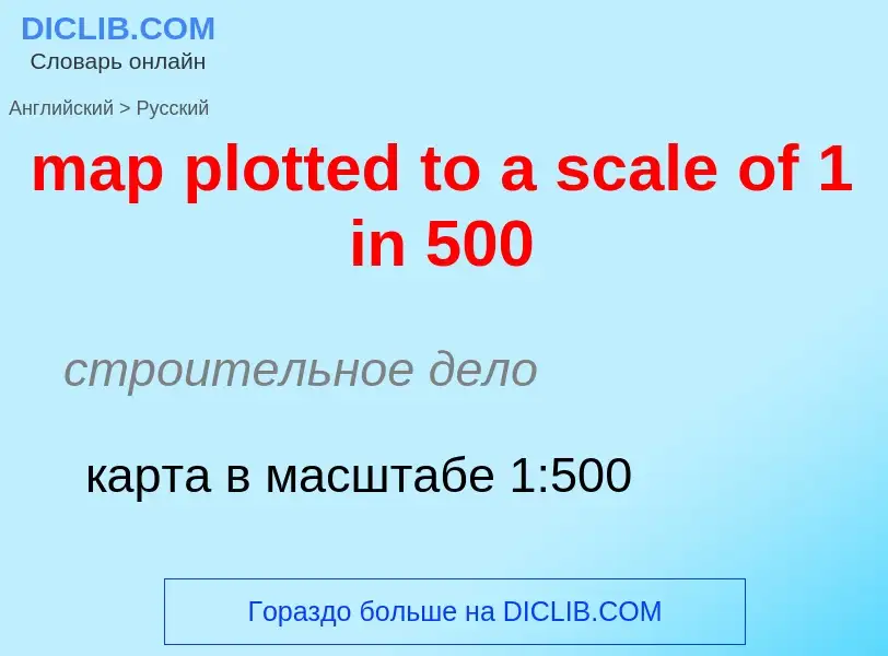
map plotted to a scale of 1 in 500      

строительное дело

карта в масштабе 1:500

map plotted to a scale of 1 in 500      
карта в масштабе 1:500
map scale         
масштаб карты
graphical scale         
GRAPHICAL REPRESENTATION OF THE RATIO BETWEEN DISTANCE ON A MAP AND DISTANCE IN THE REAL WORLD
Graphical scale; Graphic scale; Bar scale; Scale bar; Truncum leucae

математика

графический масштаб

graphic scale         
GRAPHICAL REPRESENTATION OF THE RATIO BETWEEN DISTANCE ON A MAP AND DISTANCE IN THE REAL WORLD
Graphical scale; Graphic scale; Bar scale; Scale bar; Truncum leucae

общая лексика

графическая шкала

graphical scale         
GRAPHICAL REPRESENTATION OF THE RATIO BETWEEN DISTANCE ON A MAP AND DISTANCE IN THE REAL WORLD
Graphical scale; Graphic scale; Bar scale; Scale bar; Truncum leucae
линейный масштаб
bar scale         
GRAPHICAL REPRESENTATION OF THE RATIO BETWEEN DISTANCE ON A MAP AND DISTANCE IN THE REAL WORLD
Graphical scale; Graphic scale; Bar scale; Scale bar; Truncum leucae
линейный масштаб
linear scale         
GRAPHICAL REPRESENTATION OF THE RATIO BETWEEN DISTANCE ON A MAP AND DISTANCE IN THE REAL WORLD
Graphical scale; Graphic scale; Bar scale; Scale bar; Truncum leucae
линейный масштаб
graphic scale         
GRAPHICAL REPRESENTATION OF THE RATIO BETWEEN DISTANCE ON A MAP AND DISTANCE IN THE REAL WORLD
Graphical scale; Graphic scale; Bar scale; Scale bar; Truncum leucae
графическая шкала; метод графического отображения данных.
graphic scale         
GRAPHICAL REPRESENTATION OF THE RATIO BETWEEN DISTANCE ON A MAP AND DISTANCE IN THE REAL WORLD
Graphical scale; Graphic scale; Bar scale; Scale bar; Truncum leucae
графический масштаб

Определение

КОФЕРМЕНТ А
(КоА) , сложное природное соединение, один из важнейших коферментов. В живых клетках участвует в реакциях окисления, синтеза жирных кислот, липидов и др.

Википедия

Scale (map)

The scale of a map is the ratio of a distance on the map to the corresponding distance on the ground. This simple concept is complicated by the curvature of the Earth's surface, which forces scale to vary across a map. Because of this variation, the concept of scale becomes meaningful in two distinct ways.

The first way is the ratio of the size of the generating globe to the size of the Earth. The generating globe is a conceptual model to which the Earth is shrunk and from which the map is projected. The ratio of the Earth's size to the generating globe's size is called the nominal scale (= principal scale = representative fraction). Many maps state the nominal scale and may even display a bar scale (sometimes merely called a 'scale') to represent it.

The second distinct concept of scale applies to the variation in scale across a map. It is the ratio of the mapped point's scale to the nominal scale. In this case 'scale' means the scale factor (= point scale = particular scale).

If the region of the map is small enough to ignore Earth's curvature, such as in a town plan, then a single value can be used as the scale without causing measurement errors. In maps covering larger areas, or the whole Earth, the map's scale may be less useful or even useless in measuring distances. The map projection becomes critical in understanding how scale varies throughout the map. When scale varies noticeably, it can be accounted for as the scale factor. Tissot's indicatrix is often used to illustrate the variation of point scale across a map.
Как переводится map plotted to a scale of 1 in 500 на Русский язык